


MONT JOVET

leclaude74
User
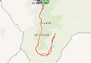

Length
19.7 km

Max alt
2448 m

Uphill gradient
1258 m
Km-Effort
36 km

Min alt
1199 m

Downhill gradient
1257 m
Boucle
Yes
Creation date :
2023-03-04 07:31:22.21
Updated on :
2023-03-04 12:45:29.152
5h11
Difficulty : Very easy

FREE GPS app for hiking
 SityTrail
IGN / Geographical institutes
SityTrail Plus
The world is yours!
About
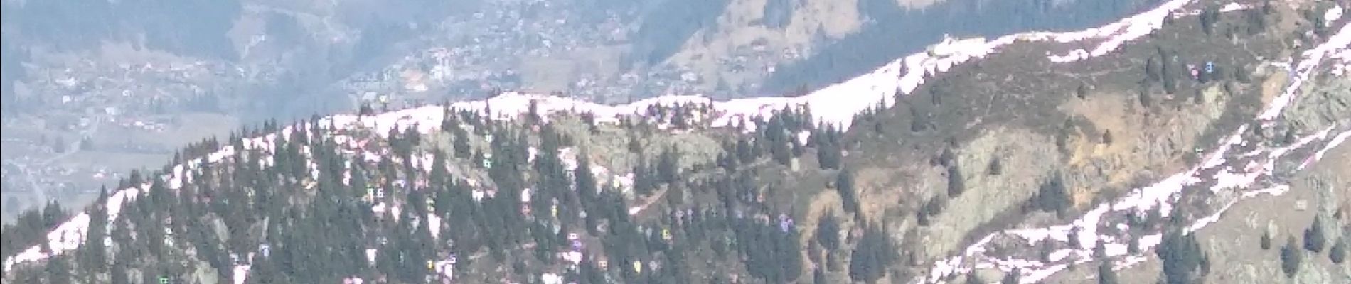
Trail Touring skiing of 19.7 km to be discovered at Auvergne-Rhône-Alpes, Upper Savoy, Les Contamines-Montjoie. This trail is proposed by leclaude74.
Photos


Positioning
Country:
France
Region :
Auvergne-Rhône-Alpes
Department/Province :
Upper Savoy
Municipality :
Les Contamines-Montjoie
Location:
Unknown
Start:(Dec)
Start:(UTM)
322592 ; 5073775 (32T) N.
Comments